
Los Altos ZIP Coverage
Los Altos uses two standard delivery areas in the researched local records map. The practical descriptions below help sort a first search, but they are not legal boundary lines. Each address still needs an independent USPS and jurisdiction check.
| ZIP | Areas Covered | Post Office | Notes |
|---|---|---|---|
| 94022 | Northern Los Altos, downtown, and the north side; parts of Los Altos Hills and areas outside the city | Los Altos Post Office, 221 Main St | Postal city does not prove incorporated-city jurisdiction |
| 94024 | Southern Los Altos, Loyola Corners, and the south side; parts of Los Altos Hills and Loyola | Loyola Corners Post Office, 1525 Miramonte Ave | Postal and civil boundaries do not match |
94022 and 94024 are delivery territories. They are not a complete list of people, a city-limit map, or a parcel index. A Los Altos mailing city can describe an address outside incorporated Los Altos, and an address tied to the city line can need a county custodian instead of a city office. These two ZIP code areas need a civil-boundary check before a record request.
Los Altos ZIPs 94022 and 94024
94022 is the useful starting label for northern Los Altos and downtown, while 94024 is the useful starting label for southern Los Altos and Loyola Corners. Both also reach places associated with Los Altos Hills or unincorporated land. The place name printed on an envelope therefore answers a delivery question, not a land-use question.
For a person search, this matters twice. A court case may use a county venue. A parcel may use a physical city that differs from the postal city. A business directory may show a mailing address that serves an enterprise rather than a home. Keep the ZIP as one clue among name, date, APN, case number, and record role. Each ZIP code should be checked against the parcel's physical city.
Verify a Los Altos ZIP Three Ways
A sound ZIP check separates delivery, jurisdiction, and parcel identity. Run the three sources in that order when a mailing label is unclear. The USPS address and ZIP lookup confirms whether the complete street address is deliverable and which ZIP it receives.
- Enter the complete street address in USPS, rather than relying on a typed city name or a remembered ZIP.
- Open the county SCCMap parcel viewer and the Los Altos Public GIS Viewer to check the incorporated jurisdiction and mapped parcel.
- Use the Santa Clara County assessor search with the physical city and address or APN, then compare tax districts and the legal description.
USPS confirms delivery. GIS supplies mapped jurisdiction and layers. The assessor confirms physical situs and tax setting. The deed's legal description controls property identity when those labels conflict. A tax mailing address can be elsewhere, and an APN can change after a parcel split or merger. This ZIP code check does not answer “who lives in this ZIP?”
Los Altos Former ZIP 94023
Insider tip. An older USPS bulletin records deleted ZIP 94023 being routed to 94022. That is a historical postal breadcrumb, not a current ZIP category. It can explain why an older letter, directory entry, or family paper uses a number that does not appear in a current ZIP code directory.
Use the old number to find the likely delivery history, then verify the street and parcel with present USPS, GIS, and assessor sources. Do not infer that every historic 94023 address lies in today's incorporated city or that its former route preserved a parcel line. A ZIP code directory is useful only when its year and routing context are clear.
Los Altos ZIP Search Workflow
A ZIP search narrows geography before it narrows a person. It does not create a verified ZIP-wide resident list. Work from the address when one is known, and from the name only through a portal that actually permits that kind of search.
- Confirm the full street address and ZIP with USPS.
- Check city limits, parcel geometry, and layers in GIS.
- Run the assessor by physical city and address or APN; record the parcel facts without treating the web result as an owner roll.
- For a named person, use the applicable court, voter self-lookup, vital, business, or license route and note its access limits.
Once a ZIP narrows the work to a street, the Los Altos by-street directory carries the address-keyed chain. It is a different task from assigning every mailing address in a ZIP to one city. A ZIP code directory should send the researcher to the correct custodian, not imply a complete resident list.
No Los Altos ZIP-Wide Resident Portal
Myth. Neither the local assessor instructions nor the GIS instructions document a ZIP-wide resident filter. The assessor has address and APN modes, but no public owner-name field and no verified ZIP search. GIS can pan, click parcels, measure, and show layers, but it does not publish a resident roster. A verified ZIP code search can route an address, but it cannot become a resident roster.
A ZIP is a delivery key. It is not permission to browse named voters, nearby households, or private address data.
The county voter tool is also not a fallback. It asks the named voter for exact identity data and returns that person's status when matched. A full voter file requires a statutory purpose, an application, requested fields, security details, and a fee. A ZIP request cannot be used to turn that self-service form into a neighborhood directory.
Los Altos ZIP Physical-City Fields
The assessor search is the key local check because it asks for the physical city rather than the postal city. Its modes and fields make the distinction visible. Accept the terms before searching. Use the simple address tab for a complete address, the advanced tab when the parts must be separated, or the APN tab when a parcel number is known.
| Field Label | Type | Required | Format and notes |
|---|---|---|---|
| Property address | Text | Yes in Simple mode | Terms checkbox is required |
| Street Number | Text | Conditional | Advanced mode |
| Street Direction | Dropdown | No | Advanced mode |
| Street Name | Text | Yes | At least one character with physical City |
| Street Type | Dropdown | No | Advanced mode |
| Unit | Text | No | Omit it and browse the list for condos or apartments |
| City | Dropdown | Yes | Select the physical city, not the postal city |
| APN Number | Text | Yes in APN mode | 12345678 or 123-45-678 |
| Terms acceptance | Checkbox | Yes | Search stays disabled until accepted |
The online result can show APN, assessed values, exemptions, districts, tax-default information, and the latest title-changing instrument. It suppresses owner or assessee names, and the basic result does not show the mailing address. Public office access and a dated mail request form are separate channels when more detail is needed.
Los Altos ZIP and City Limits
Los Altos Hills, Loyola, and unincorporated areas can share a ZIP with incorporated Los Altos. Northern and southern descriptions help a reader orient a search, but they do not create a legal boundary polygon. Addresses that share a ZIP code can therefore use different custodians. For a disputed address, use the jurisdiction's mapped parcel and recorded legal description. Do not substitute a school, business, or family mailing label for civil jurisdiction.
- ZIP versus ZIP+4
- A five-digit ZIP groups delivery territory. The four extra digits refine a delivery segment, route, or building destination. Neither is a city-limit line.
- PO-box ZIP
- A ZIP used for post-office box delivery. No Los Altos PO-box-only ZIP was verified in the research.
- Unique ZIP
- A ZIP assigned to one large institution or organization. No unique Los Altos ZIP was verified.
- Carrier route
- A USPS delivery grouping used by carriers. It is not a parcel, tax district, or incorporated-city boundary.
The deed, not the ZIP, settles the legal identity of a parcel. The assessor's physical-city field and GIS jurisdiction check then point to the right public office.
Los Altos Affiliation Clues by ZIP
When a ZIP narrows a name search, affiliation records can help sort two people without pretending to prove residence. A professional license, unclaimed-property entry, business directory listing, or city license record may show a name, city, address, or role. Each result belongs to its own system and date.
The California Department of Consumer Affairs license search is a public verification route for a board, license type or number, business, first or last name, or registry number.
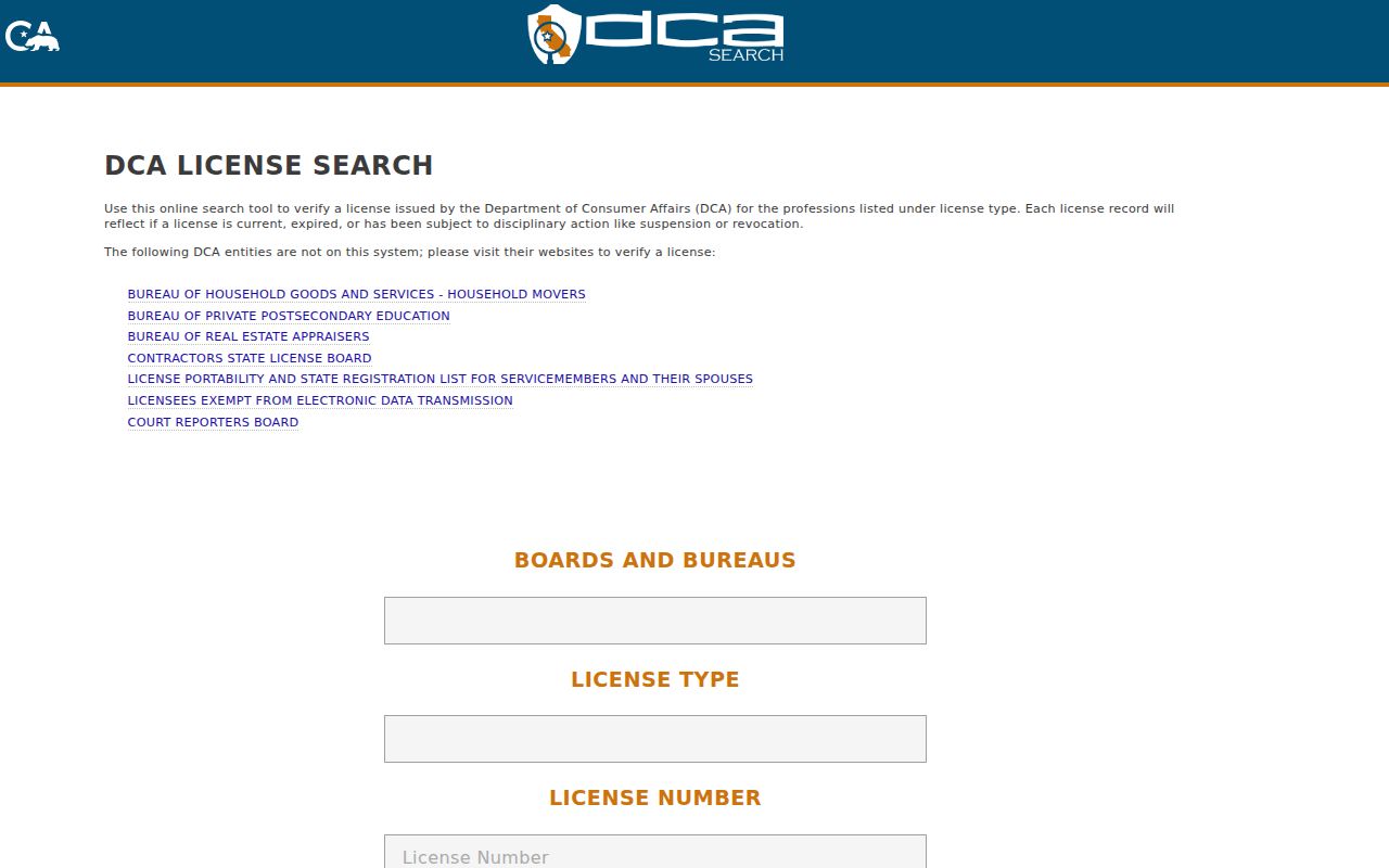
A DCA match can confirm a professional identity or status. It does not establish that the person lives at the listed city or ZIP.
The Controller's unclaimed-property search accepts an owner name and city, and can show a reported address or city, holder, property type, property ID, and amount category.
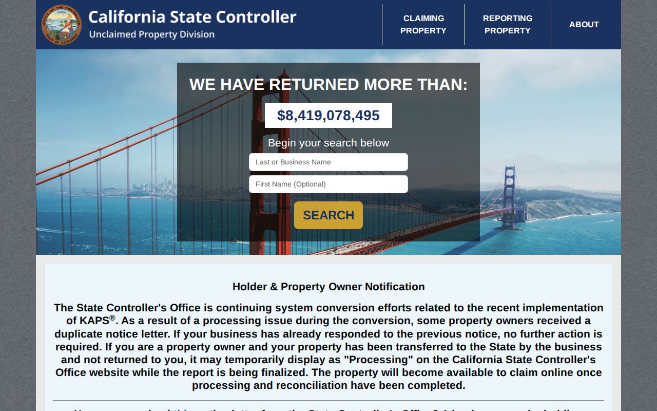
Unclaimed property is a historical owner or address clue. Search and claim are free, but the result is not proof of a current home.
The Los Altos business directory can browse by category, name, or alphabetic listing when a business supplied a name, address, map, phone, or link.
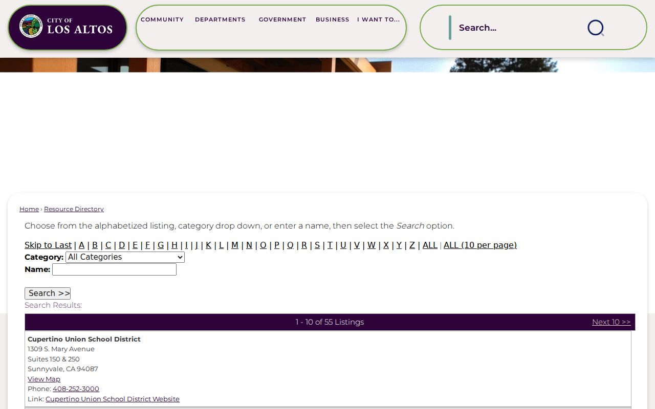
Business affiliation helps disambiguate a name, yet a business address may serve customers or staff rather than a household. The city business licensing route covers registration, renewal, fee calculation, and directory links.
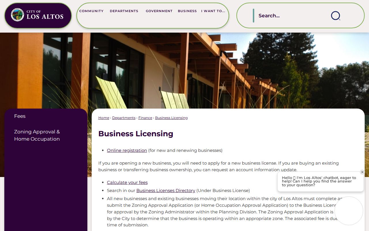
Licensing and zoning records are affiliation evidence. They should stay separate from parcel ownership, voter status, and residence claims.
Los Altos ZIP Population Context
Population context shows why a ZIP code directory cannot be treated as a headcount. The 2020 Census counted 31,625 Los Altos residents. The July 1, 2025 estimate was 30,965, within a city area reported as 6.54 square miles. Census totals use incorporated limits, while delivery ZIPs, ZIP Tabulation Areas, mailing routes, and nearby jurisdictions do not line up in the same way.
The 2024 ACS profile reports 10,840 households and 11,781 units. Those measures are useful context, not a way to subtract one ZIP from another. A ZIP can cross a civil line, and a person can have a business, mailing, parcel, or family tie that appears in a different place.
Timely note. California's DROP platform began unified data-broker deletion and do-not-sell requests in 2026, with more than 500 registered brokers in scope. Removing a compiled copy does not remove a public deed, court record, vital record, or official license file.
Lawful use. Use a ZIP code to verify delivery and route records to the right custodian. Do not use it to harass, threaten, or infer a private household from unrelated public clues.